|
KernelSat Services - online WEB tools for decoding, visualization, statistical analysis and post-processing of GNSS data.

|
|
TOPAZ PPK
|
|
TOPAZ is GNSS data PPK (Post Processing Kinematic) service. Computes accurate and reliable rover positions using base and rover measurements.
TOPAZ automatically downloads and uses Broadcast or SP3 Precise SVs orbits.
|
|

|
|
WAY
|
|
WAY stands for "Who Are You"? WAY automatically detects all known / supported GNSS data formats and
protocols in uploaded file and gives statistic about detected messages and compact information about primary data parameters.
May be also useful for RTCM3 decoding and RTK rover troubleshooting.
|
|

|
|
RINEX TOOLS
|
|
RINEX Tools (RTOOLS) allow to convert GNSS data (Compact RINEX CRX, UBLOX UBX, RTCM3) to RINEX,
merge several RINEX files into one and edit / modify RINEX.
|
|

|
|
PENTAP PPP
|
|
PENTAP stands for penta (x5) 'P' what in turn means Precise Point Positioning Post-Processing.
Online service allows to compute PPP positions (both static and kinematic) using uploaded rover raw measurements.
|
|

|
|
BIN2TXT
|
|
Online tool for decoding and converting UBLOX UBX binary messages into text presentation.
Allows to view and debug binary data message by message, field by field.
|
|

|
|
MEONMAP
|
|
Shows LLA or XYZ position on Google map. XYZ <-> LLA coordinates convertor.
|
|
Please consider the services listed below as announcement or letter of intent.
Some of these services are under development now. Some are planned for future realization.

|
|
COBALT RTK
|
|
COBALT is KernelSAT RTK post-processing engine. Technique of Cooperative processing allows to get accurate and reliable RTK FIXED positions even in challenging environment.
Results may be saved in NMEA,GGA or text CSV form.
|
|

|
|
EPHEMERIS MANAGER
|
|
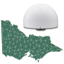
Download satellite Ephemeris in RINEX format for concrete date including all SVs seen Globally of required RINEX version.
|
|
|
|
CORS NETWORK
|
|
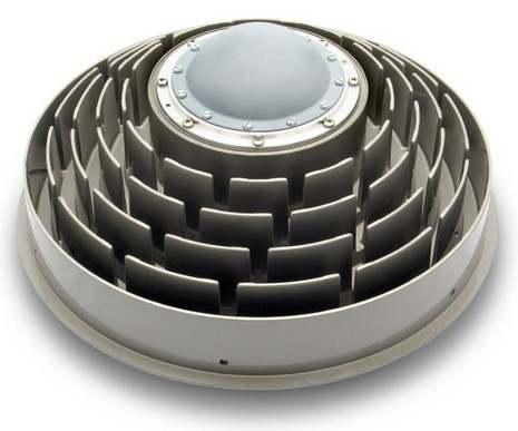
Find nearest available public CORS stations (NGS, IGS), check RINEX data availability, download RINEX for concrete date, estimate expected antenna coordinates.
|
|
|
|
ANTENNA DATABASE
|
|
GNSS Antennas offsets PCO & PCV (Phase Center Offsets & Phase Center Variations) database. Convert ARP (Antenna Reference Point) to L1 PC (Phase Center) and vice versa.
|
|

|
|
NTRIPGuide
|
|
NTRIPGuide is the set of utils and sub-services focused on NTRIP. It allows viewing of NTRIP Network topology
(as presented in a NTRIP caster source table). NTRIPGuide logs data from mount points and further messages / analysis.
It is also featured to scan a Network to validate its current status (check source table content vs actual data stream) as well as to check availability
and coverage area of VRS / MAC / FKP network corrections.
|
|

|
|
TEQCMate
|
|
TEQCMate is the online tool for GNSS receivers raw measurements quality analysis including multipath MP1 / MP2 figures and cycles slips.
TEQCMate may give an idea of how good the base station location is from point of raw
measurements quality. Resulted raw
measurements report is similar to what UNAVCO TEQC utility does in "qc" mode.
|
|
|